
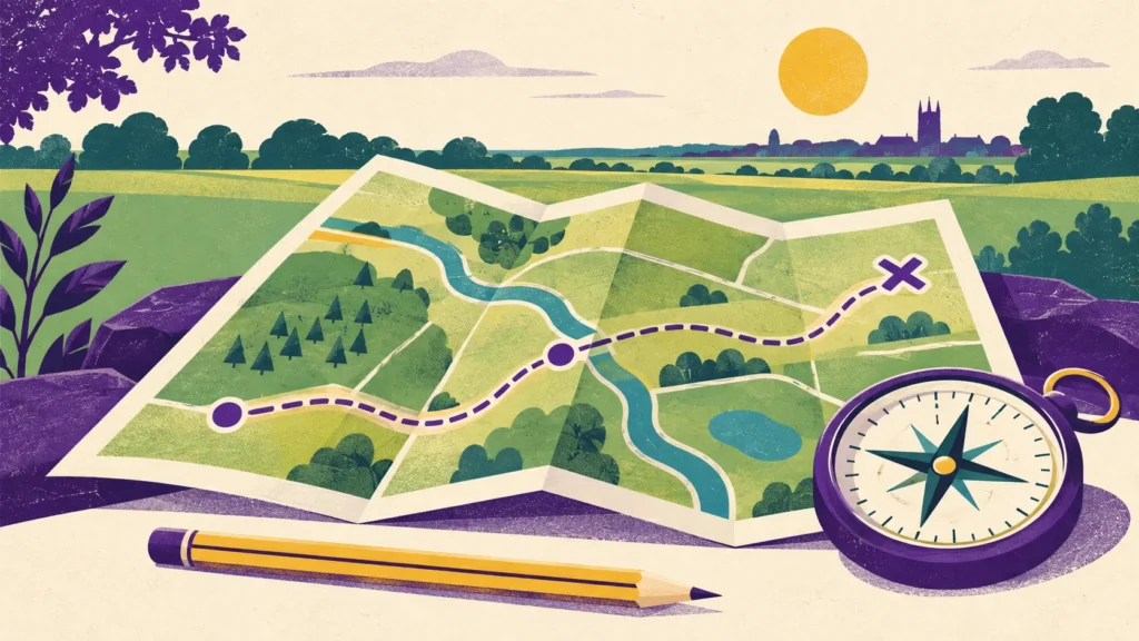
Knowing where you are begins with paying attention. A map can show a bend in a road or the outline of a field, but it becomes useful when you connect those marks with the place around you. For Scouts in Swineshead, learning to read a map offers a practical way to explore observation, planning and decision-making. The first step can happen at a table, long before anyone sets out on an unfamiliar route.
This guide suggests ways for families to explore basic map thinking together. It is not a route description or a substitute for the planning, supervision and skills needed for an organised walk. Start with a familiar, suitable place and keep an adult responsible for the outing. The examples below are deliberately small so that attention can stay on understanding the information rather than covering a distance.
Begin with a map you can explain
Draw a simple plan of a room. Include the door, a window and two or three large pieces of furniture. Looking down from above is different from drawing what you see while standing in the doorway, so compare the two views. Ask your Scout which features would help someone recognise the room and which details could be left out.
Then swap roles. One person makes a plan and the other identifies the features. If the drawing is confusing, investigate why. Perhaps the door is in the wrong place or two objects use the same symbol. Correcting the plan turns a mistake into useful information about what maps need to communicate. Artistic skill is not the point; a clear rectangle may work better than a detailed picture.
You can make a second plan of a small familiar outdoor space, staying within an area you are allowed to use. Add a key explaining your symbols. Keep personal addresses and private details out of anything you intend to share. A fictional plan works just as well for practising these ideas and avoids turning a learning exercise into a record of someone’s home.
Learn what the key is telling you
A map key connects marks on the page with things they represent. Before trying to follow a route, choose a few symbols and look for them. Ask how a line showing a road differs from a line showing another feature. Do not assume that every map uses the same colours or symbols; use the key supplied with the particular map in front of you.
Try inventing a small fictional map together. Give it a path, a building, a patch of trees and an open space. Agree on symbols and then check whether another family member can understand them. If they need repeated explanations, the key may need to be clearer. This is a useful way to see why consistency matters without requiring specialist equipment.
Keep the number of symbols manageable. Recognising four features confidently is a better start than skimming a whole page and remembering none. Return to the same symbols in a different part of the map. That helps separate understanding from simply remembering where one example appeared. Encourage your Scout to explain how they know what a mark means.
Match the page with the place
In a familiar location, identify two or three obvious features and find their relationship on the map. Which is beside the other? Where does the path bend? What lies beyond the corner? Turn the map so that the arrangement in front of you makes sense. Begin with visible features rather than trying to introduce every compass skill at once.
Ask your Scout to point to your current position and explain the evidence. “We are beside the entrance and the path turns ahead” is stronger reasoning than “I think it looks about right”. An explanation gives you a chance to notice a misunderstanding early. If the map and surroundings disagree, stop and work out why instead of walking on to see what happens.
It can help to compare the same spot from two directions. Turning your body changes the view, while the buildings and paths remain in the same relationship. This is sometimes the moment when a plan begins to make sense. Allow time for it. A short exercise near a familiar entrance can be more useful than a long walk during which someone else makes every decision.
Think about distance without rushing into calculations
Maps reduce large places to a manageable page. Two features that look close together may still take time to reach. Look at the scale information and discuss what it means before using the map to plan an outing. For a first exercise, compare shorter and longer routes between the same two points rather than trying to calculate an exact walking time.
Use a piece of string to follow a drawn route on a printed map, then compare it with another route. A straight line between two places may cross somewhere you cannot walk. That difference is important: a map can show a physical space without giving permission to travel across all of it. Stay on routes where access is allowed and follow current signs and restrictions.
Talk about what could make a journey take longer. Crossing points, surfaces, stops and the needs of the people taking part all matter. Avoid treating the quickest route as automatically the best. For a family outing around Swineshead or elsewhere near Boston, an appropriate familiar route with a clear return plan may be more useful than a demanding route chosen only for its length.
Make a route plan before leaving
A simple plan should identify a start, an end and a few clear points in between. Discuss where you can turn back and what would make you shorten the outing. Check current conditions and choose a route that suits everyone taking part. An adult should make the final decisions about access, road crossings, weather, equipment and supervision.
Invite your Scout to describe the route in ordinary language. For example, a fictional route might pass a gate, follow a path to a junction and return by the same way. Ask which feature would confirm that they had reached the junction. Describing what you expect to see creates opportunities to check the plan against reality as you go.
Do not publish a child’s route, meeting location or expected movements as part of a map activity. If you are sharing a sketch with the section team, use their normal private arrangements. A made-up map can demonstrate the skill without including personal information. The learning comes from explaining decisions, not from showing everyone precisely where your family spends time.
Pause at decision points
A junction is a useful place to stop and compare the map with the surroundings. Ask what options exist and which feature supports the planned choice. Give your Scout time to answer before pointing the way. Keep the group in a safe position while discussing it; map reading should not distract anyone while crossing a road or moving through a busy area.
If there is uncertainty, acknowledge it early. Returning to a known point with the supervising adult may be the appropriate choice. This family exercise is about practising how to check, not proving that a young person can continue alone. Good decision-making includes recognising when the available information is insufficient and asking for help.
On a short familiar route, you can compare prediction with observation. Was the corner where you expected? Did the building appear before or after the open space? These small checks make navigation an active process. They also show why it helps to look up regularly rather than staring at a map or screen while someone else notices the surroundings.
A map-reading conversation card
- Locate: Where do we think we are, and what confirms it?
- Interpret: What does the map key say about this feature?
- Predict: What should we see before the next decision point?
- Check: Does the place match our expectation?
- Decide: Continue, pause or return with the adult?
Use these prompts selectively. A walk does not need to become a continuous quiz. Choose one or two points where everyone can stop comfortably and talk. Leave time to enjoy the outing, notice something interesting and have a conversation unrelated to the route. Skills develop more naturally when the exercise stays enjoyable.
Review the plan after the walk
Back at home, look at the route again. Ask which feature was easiest to recognise and which caused confusion. Your Scout could add a note to their practice sketch or redraw a difficult junction. Avoid marking every hesitation as an error. Sometimes pausing was exactly the right decision, and it is worth recognising that.
Consider what you would change next time. A clearer printout, a shorter route or fewer symbols to learn might help. If the exercise was straightforward, introduce one additional challenge on another day rather than making the next outing much longer. Progress can mean explaining the same route more clearly, not simply travelling farther.
Digital maps can be part of the discussion, but a screen does not remove the need to interpret information. Ask the same questions about features, access and what is visible around you. Keep attention on the environment and follow the adult’s plan. For more advanced navigation, speak with the leaders about appropriate opportunities and instruction rather than relying on a short blog guide.
Explore Scouts in Swineshead
The national Scouts section is for young people aged ten and a half to fourteen. Our Scouts section at 7th Boston Swineshead gives families local information and a route to ask questions. Map skills are one example of the practical learning young people may be interested in exploring; this article does not confirm a specific programme session or badge award.
Visit our Scouts resources for uniform, badge-placement and Promise details, or contact the team to discuss joining. A useful first goal is modest: choose a familiar place, explain a few features on a map and check them together. Being able to say why you think you are in the right place is a skill worth practising.
 Scouts
 Cubs
Cubs Squirrels